NZ Visual Diary - entry 119
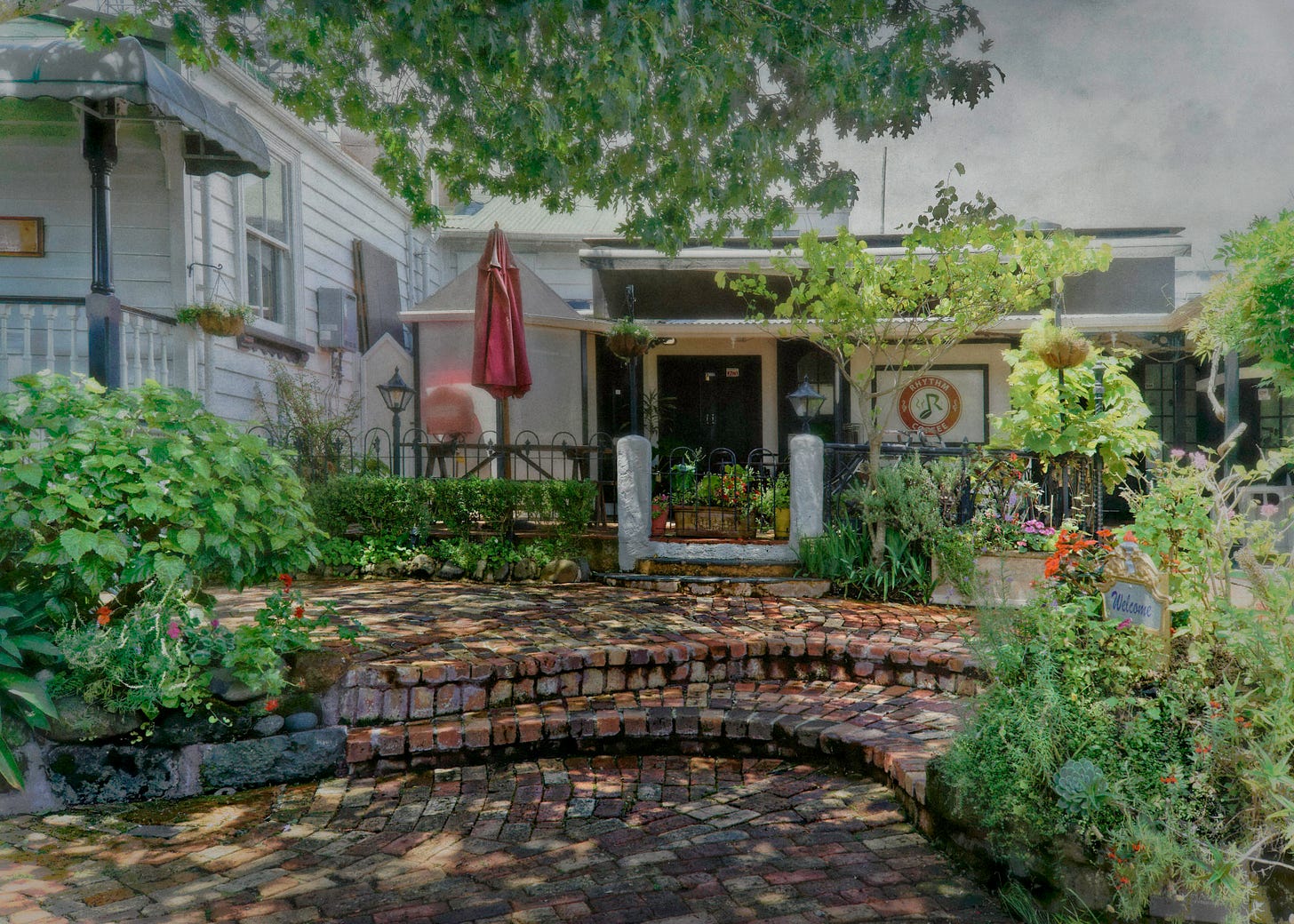
Parnell Road - alcove
The colonial history of Auckland reveals how young New Zealand is as a former British colony. A Parnell heritage website reports:
The most prominent early European explorer to visit [the Auckland region] was Captain D’Urville in 1827. In 1840 Ngati Whatua gifted 3,000 acres of their land to Captain Hobson to help with the establishment of the new capital of New Zealand. The land was then sold to help secure revenue for the new Government. The first land sale was in the downtown Auckland area in April 1841. The 119 lots sold very quickly. < https://parnellheritage.org.nz/parnell-history/ >
Parnell, as a distinct development area, was named soon thereafter.
Today, Parnell is one of Auckland’s most affluent suburbs. Both its residential areas and commercial districts are palpably upscale, elegant and tasteful, but with a median house price in excess of NZD 1.25 million dollars.
It is difficult for me to compartmentalise conversations about tasteful elegance and wealth, on the one hand, and New Zealand’s accelerating rate of inequality, on the other, but my photographic essays in this blog will focus on the visual presentation of the Auckland region, in this instance its wealthy Parnell suburb.
Parnell Road is home to the suburb’s central and most upscale commercial district. I start with the image in this entry to mark my fascination with secondary areas of the commercial district. Along the northwest stretch of Parnell Road, after its bifurcation with St Stephens Avenue to the south and Parnell Rise to the north, we find the most retail-intensive area of the roadway.
I use the term ‘secondary’ to make a geographic (and not hierarchical) distinction. In the northern-most segment of Parnell Road, a rabbit warren of walk paths take the window shopper west from the main street to a series of patio-anchored shopping areas, such as the one illustrated in this entry.
These secondary areas are uniformly beautiful.

