NZ Visual Diary - entry 450

arch & light - Melba [Vulcan Lane]
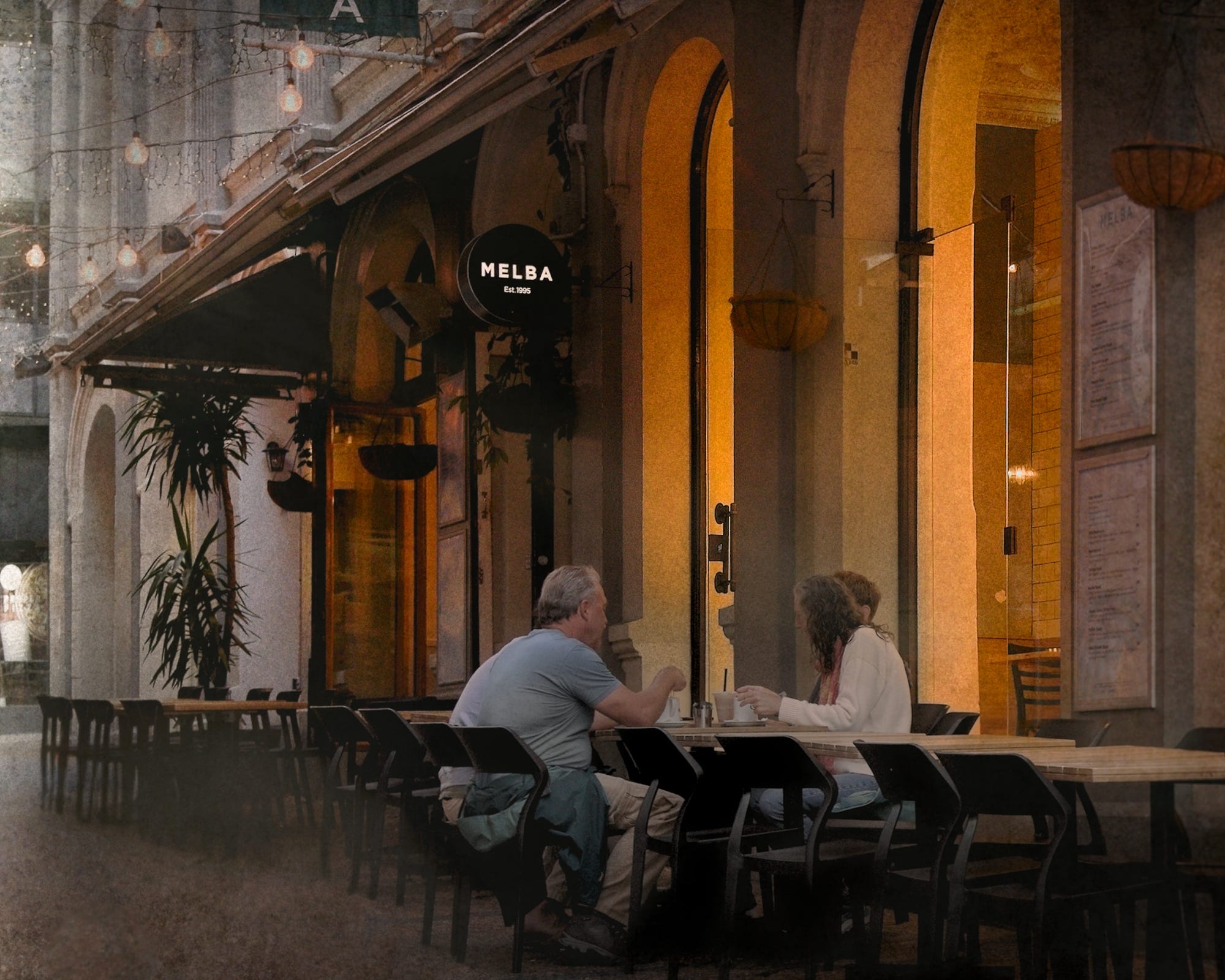
Vulcan Lane is a pedestrian-only thoroughfare that wends its way eastward from Queen Street, crosses High Street and ends its journey at O’Connell Street. Other lanes or diminutive streets in Auckland Central, some pedestrians-only and others with limited one-way car traffic patterns, include Fort, Snickel, Durham, Imperial and Bacons. All share an old-world charm, characterised by distinctive human-scale architecture, boutique retail shops and atmospheric cafes.
Heritage New Zealand offers an informative narrative of Vulcan Lane’s history as a commercial and social destination within Auckland Central.
One section of the narrative that I found especially noteworthy reads as follows:
In the 1920’s the lane was widened by about 15ft on the south side, and new commercial buildings were being erected in the area. Any new buildings constructed in the lane had to conform with the Council’s requirements and hence the lane adopted a wider more spacious and sunlit appearance. 1
Few areas of public policy have taken more hits by critics on the left- and right-side of the political fence than zoning & planning requirements. The problems are real, but complex, and consequential. However, one need only walk the length of Vulcan Lane to conclude that the judicious application of zoning and design frameworks to preserve the historically significant character of modest areas of a city can be enormously beneficial to the life of a city — to our liveability in it and to our understanding of its changing character, both continuous and adaptive, over time.
Heritage New Zealand | Vulcan Lane Historic Area
< https://www.heritage.org.nz/list-details/7011/7011 >